


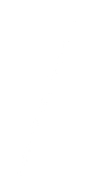
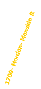
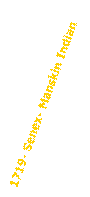
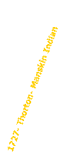
Manskin Timeline


Maps


Manskin
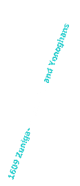
and Youghtanund are Separate Tribe/Villages (See 1609 Zuniga)

Manskin,
Youghtanund & Pamunkeys combine warriors under Opechancanough,
assume
name Manskin (the nearest tribe), and move to The Island

1645
1608
Manskin
decimated, Fort Royall built on top of their towns location
“The Island” is patented, 1660s
Goodwins move in
1649
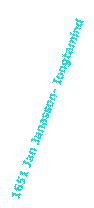
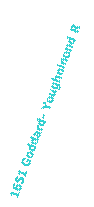
Youghtanund Map
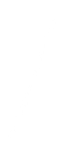
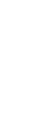
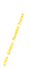
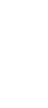
Manskind
Original Mention Map
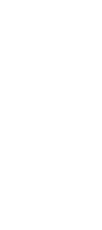
Manskind Obvious Remake Map


Manskin confused with Manakin and is systematically removed from all text
Early 1800s


Events


Massacre
Puts Them
On Maps