
1639 Vinkeboons shows 6 Islands


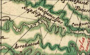


6 small dots in the center of
the river represent islands. I can found
the 6 island between the Anna Rivers and Piping
Tree Ferry. Maps at this time were built
from text descriptions rather than mapping out
a grid.
Anywhere they could
paddle a canoe back out to the river at high
tide was considered an island.


