|
1
|
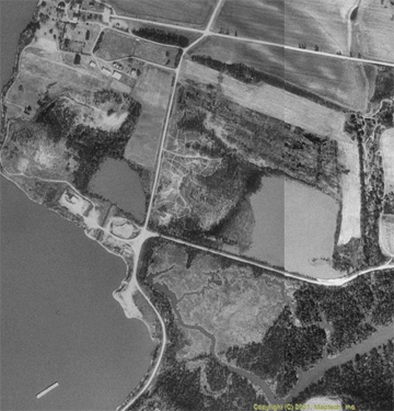
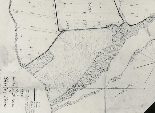
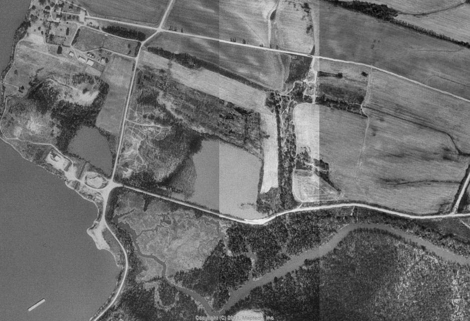
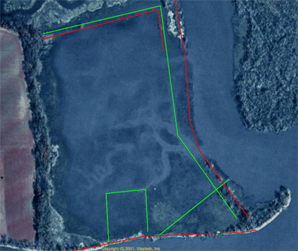
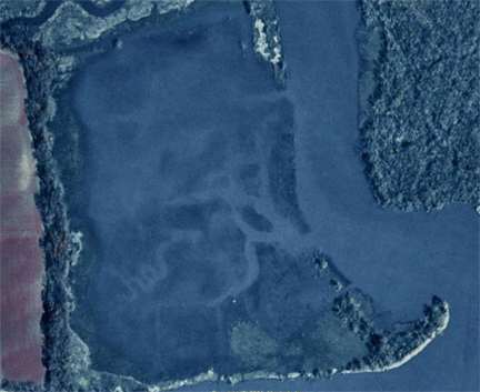
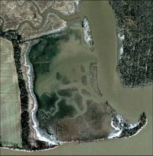
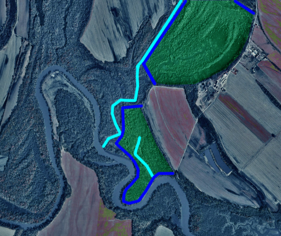
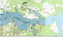
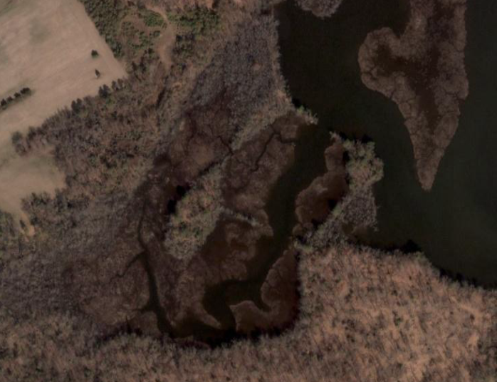
- In the 1830s, the Carter Family was experimenting with reclamation of
swamp to grow corn and wheat at Shirley, Westover and Pampatike.
|
|
2
|
- 85 Acres Reclaimed Land in 1820s
|
|
3
|
|
|
4
|
|
|
5
|
|
|
6
|
|
|
7
|
|
|
8
|
|
|
9
|
|
|
10
|
|
|
11
|
|
|
12
|
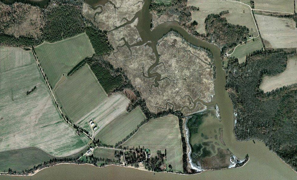
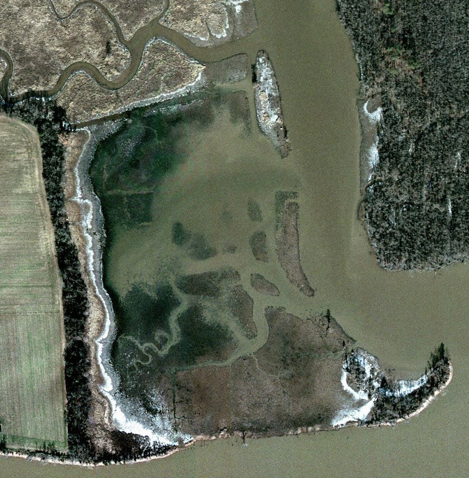
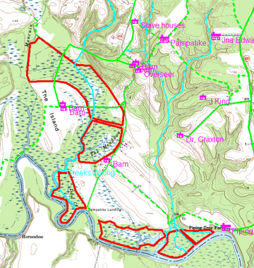
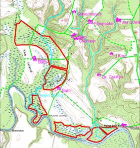
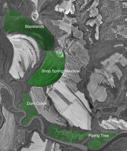
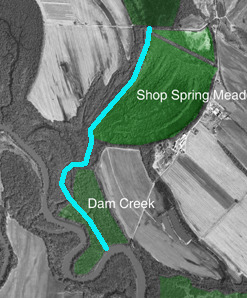
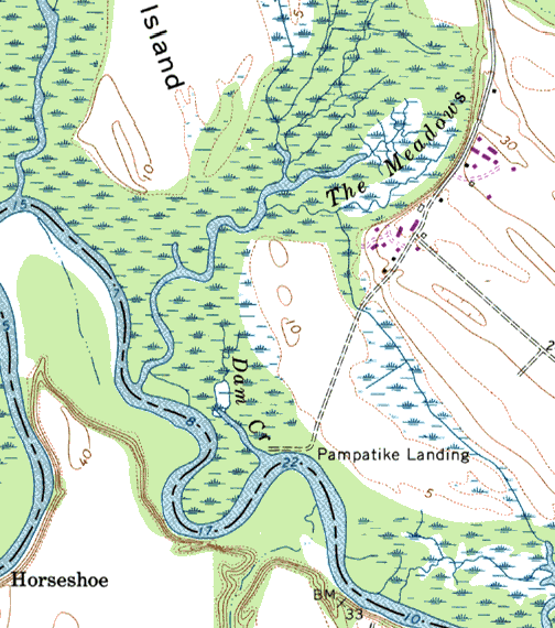
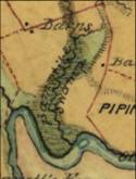
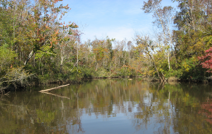
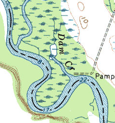
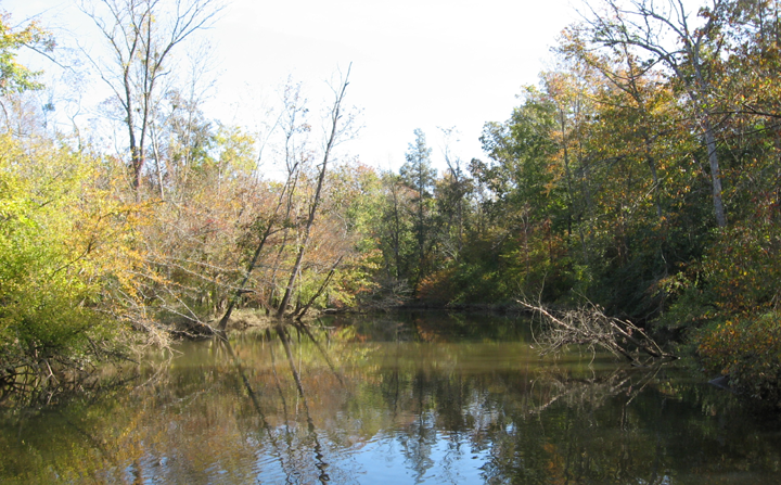
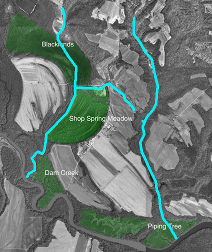
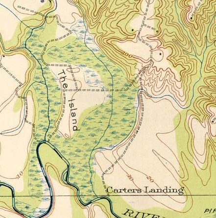
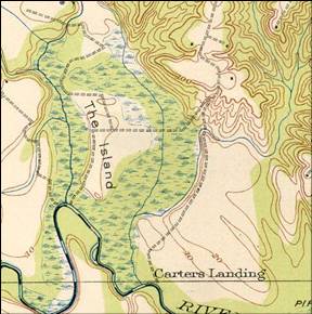
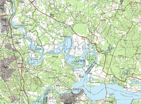
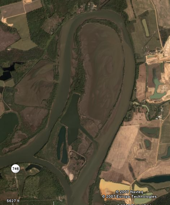
- “Mr. Carter put his negroes to work, and constructed a system of dams
whereby most of the island's rich terrain was reclaimed for farmland.
Probably for this reason, the narrow body of water surrounding the
island became known as the "Dam Creek," and the Carters built
a landing on its shores.” (Deep Water article)
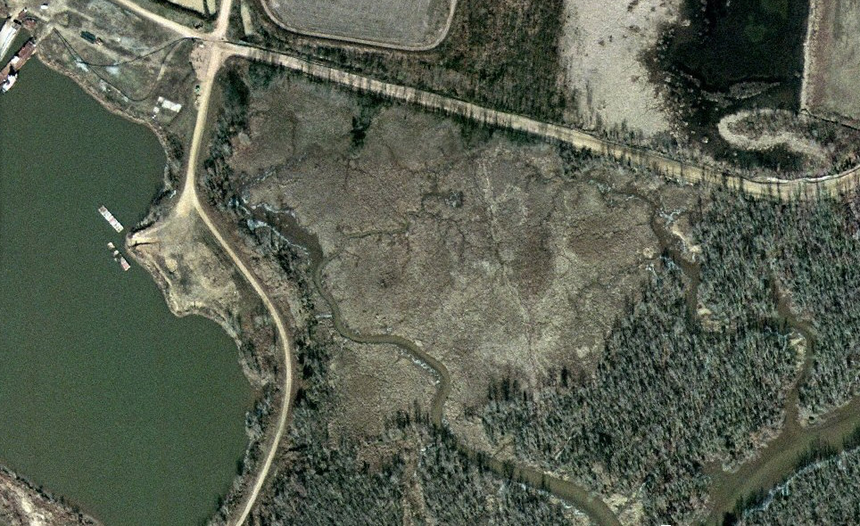
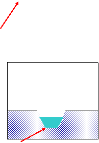
- “Among other things, he put a dyke along the river front and along
Moncuin Creek, which bounds “Pampatike” (Goodwins Island part of it) on
the West and reclaimed a large portion of the marsh land next to Piping
Tree, which, unfortunately, however, was not kept up. He was an
excellent farmer, and made enough from the huge crops he cultivated on
this reclaimed land to pay the expense of reclamation.” (1915 Thomas N
Carter Letter)
|
|
13
|
- “In November 1835, he married Anne Willing Page, daughter of William
Byrd Page and his wife, Evelyn Byrd Nelson, of "Page Brook,"
in Clarke.17 Around this time Mr. Carter added to Pampatike by
purchasing Goodwin's Island, a tract of land consisting of 900 acres,
lying in the Pamunkey marshes. “ (Deep Water article)
- He, about this time, went to live at ‘Pampatike which he took under the
will of his father, Robert Carter. He took, also, under the said will,
about twelve hundred acres of land of “Hickory Hill”, Hanover County,
which he sold to Mr. William F. Wickham, his brother-in-law, and bought
that part of the present “Pampatike Farm” known as Goodwin’s Island, and
added it to Pampatike which is now 2250 acres of land in King William
County, Va. on the Pamunky River, between New Castle Ferry and Piping
Tree Ferry, about seven and a half miles from the court house and about
twenty five miles from Richmond. (1915 Thomas N Carter Letter)
|
|
14
|
|
|
15
|
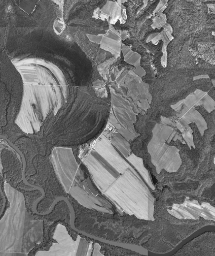
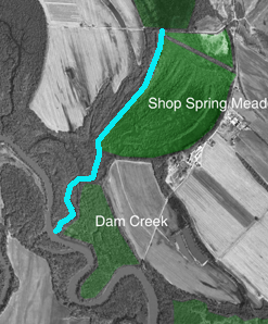
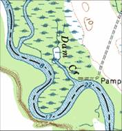
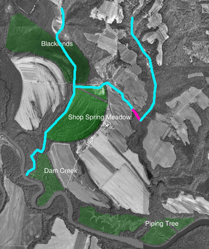
- “beginning at the mouth of Goddin’s Creek or swamp, a little below
Goddin’s Island (this creek is now called the dam creek and has had a
flood gate at its mouth for many years, now out of repair, and runs
between the island and the Shop Spring meadow fields on “Pampatike”)”
(1915 Thomas N Carter Letter)
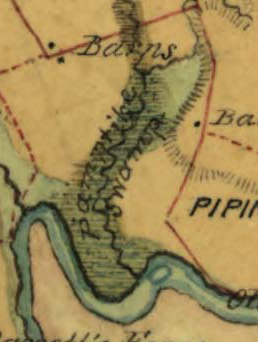
- Pampatike Creek was sometimes know as Goddins Creek at this time.
- It is drawn as “Pampatike Swamp” in the 1865 Blackford map
|
|
16
|
|
|
17
|
|
|
18
|
|
|
19
|
|
|
20
|
|
|
21
|
|
|
22
|
|
|
23
|
- From Marsh to Farm by Kimberly Sebold
- http://www.cr.nps.gov/history/online_books/nj3/contents.htm
- The Changing Landscape of the St. Jones Neck Under the Influence of the
Dickinson Farnily, 1680-1850
- By Rebecca J. Siders Pamela C. Edwards
- http://dspace.udel.edu:8080/dspace/handle/19716/1597
|

 Notes
Notes